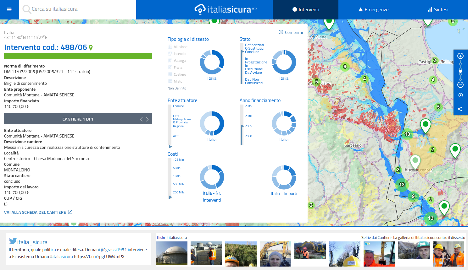
The application is written using different technologies and has been composed thanks to several different tools and pre-existing libraries here below an extract of the core compnents used in both the backend:
-
Backend & tools
- GNU/Linux Ubuntu Server
- PostgreSQL Open Source Database / PostGIS GeoSpatial database
- Boundless GeoServer Spatial Geoserver that provide map tiles and vectorial features to the application
- WEKA 3 Java data analysis and data mining library
- QGIS GeoSpatial data management desktop tool
- Apache Jena Java library for RDF serialization and SPARQL processors
- OpenRefine Desktop tool to manage complex and messy tabular data
- Apache Tomcat The Apache Java web-application Container
- Jersey Java library for the management of RESTful services
- Apache HTTPD Server Apache HTTP Server
- PHP PHP scripting language
- Twitter-API-PHP PHP wrapper for Twitter API
- OpenStreetMap providing comunity based tiles and base map elements
-
Frontend & Software Libraries
- AngularJS Modern Javascript web-application MVC framework
- OpenLayers 3 high-end Javascript Mapping library
- Twitter Bootstrap Twitter HTLM/CSS template library for responsive web-applications
- jQuery Javascript library
- UI Boostrap AngularJS Bootstrap components
- ng-twitter AngularJS directive for rendering Twitter messages
- bxSlider jQuery components to create responsive sliders
- Numeral.js Javascript library to manage numerical values
- Chart.js Javascript HTML5 chart library
- FontAwesome HTML5 Icon library
- jQuery.NiceScroll jQury plugin to beutify the default browser scrollbars
Current development version is 3.0
Release versions history is available on Releases
you are welcome to contribute adding comments, suggestions or issues or following the traditional GitHub flow to sumbit changes
The source code is released under the GNU Affero General Public License v.3 for further information please read the LICENSE file for 3rd party libraries and licenses please read the LICENSES-3RD-PARTIES

