User Manual
Dropchop provides several ways to add data. Outlined below are examples of these methods.
You can upload your own files via click-and-drag or selecting files on your computer using the system dialogue. File types allowed are .json (assuming valid TopoJSON or GeoJSON), .geojson, .topojson, Shapefiles in .zip format.
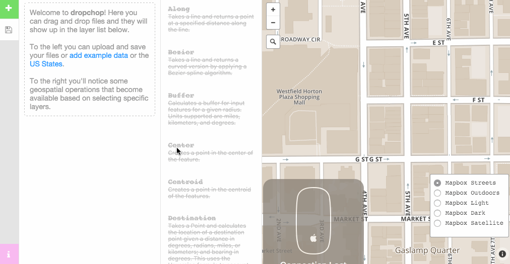
Select the green ➕ button and choose upload from your computer.
External URL's that are valid geometry can be uploaded in a similar fashion to Gists. Use the tool option in dropchop or include in your URL parameters (e.g. http://dropchop.io/?url=http://earthquake.usgs.gov/earthquakes/feed/v1.0/summary/4.5_day.geojson).
Select the green ➕ button and choose import from a url.
To turn data from a Gist into dropchop layers, you can upload via the tool option or include the Gist ID in the URL (e.g. http://dropchop.io/?gist=09129c20ec020b83bf85). Gist is a great way to store you data and save it for later.
Select the green ➕ button and choose import files from gist.
Dropchop allows you to import OpenStreetMap data via the Overpass API query language. Selecting this option queries the OSM planet database and will add successful responses as layers to your project. More infomation on the Overpass API can be found on the wiki.
Select the green ➕ button and choose query the overpass api.
Data from ArcGIS Server or ArcGIS Online Feature Layers can be added directly to Dropchop.
Select the green ➕ button and choose query an arcgis feature service.
- Feature Service - is the URL for an ArcGIS Server or ArcGIS Online Feature Layer REST endpoint. Only layers of type
Feature Layerare supported. - Where - is a legal SQL query
whereclause used to filter the feature service. To retrieve all features, use1=1. - Request Type - can be Cross-Origin Resource Sharing (CORS) or JSONP. CORS requires both the client and server to support Cross-Origin Requests. If you receive Cross Origin Request Blocked errors, try switching to JSONP. Click here to learn more about CORS.
- Limit To Map - will query for features only within the current map view extent.
- Query results to Feature Service REST endpoints may be limited by the server. The default limit is 1,000 features.
- Although uncommon is it possible that some Feature Service endpoints are not queryable. This is set by the server administrator.
Many organizations and local, state and federal governments use ArcGIS Server software to host web maps. Use the Network tab of your browser's developer tools to discover URLs of web map layers. Often you can browse the entire directory of an ArcGIS Server host at the arcgis/rest/services root URL. See example.
You may also find over 30,000 Open Data datasets is opendata.arcgis.com.
You might also explore the sources of the OpenAddresses project. Many of the address sources point to ArcGIS Server feature services. See example.
This function allows you to add your location to Dropchop. You will need to select yes to allow Dropchop to use your location if prompted.
Select the green ➕ button and choose add your location as a layer.
Layers can be exported as GeoJSON, TopoJSON, or Shapefiles. Shapefile export is relatively limited, due to incomplete dependencies.

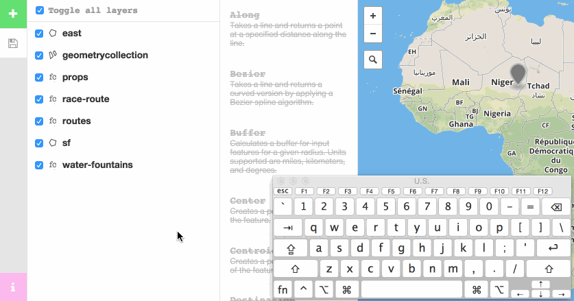
Dropchop is built with a limited set of keyboard shortcuts:
| Keystroke | Action |
|---|---|
| cmd + a, ctrl + a | Select All |
| cmd + backspace, ctrl + backspace | Deselect All |
| cmd + +, ctrl + + | Check All Selected Layers |
| cmd + -, ctrl + - | Uncheck All Selected Layers |
| ctrl + shift + k | Delete Selected Layers |