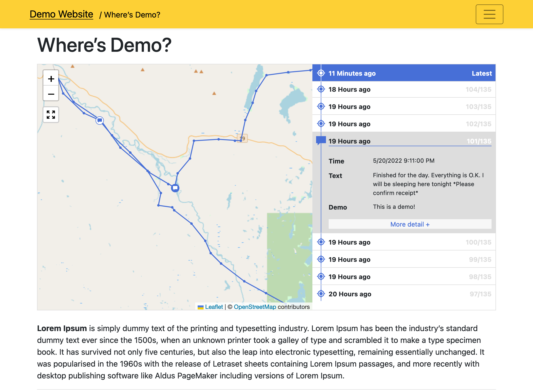
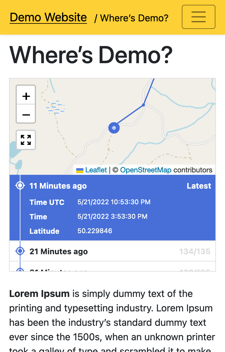
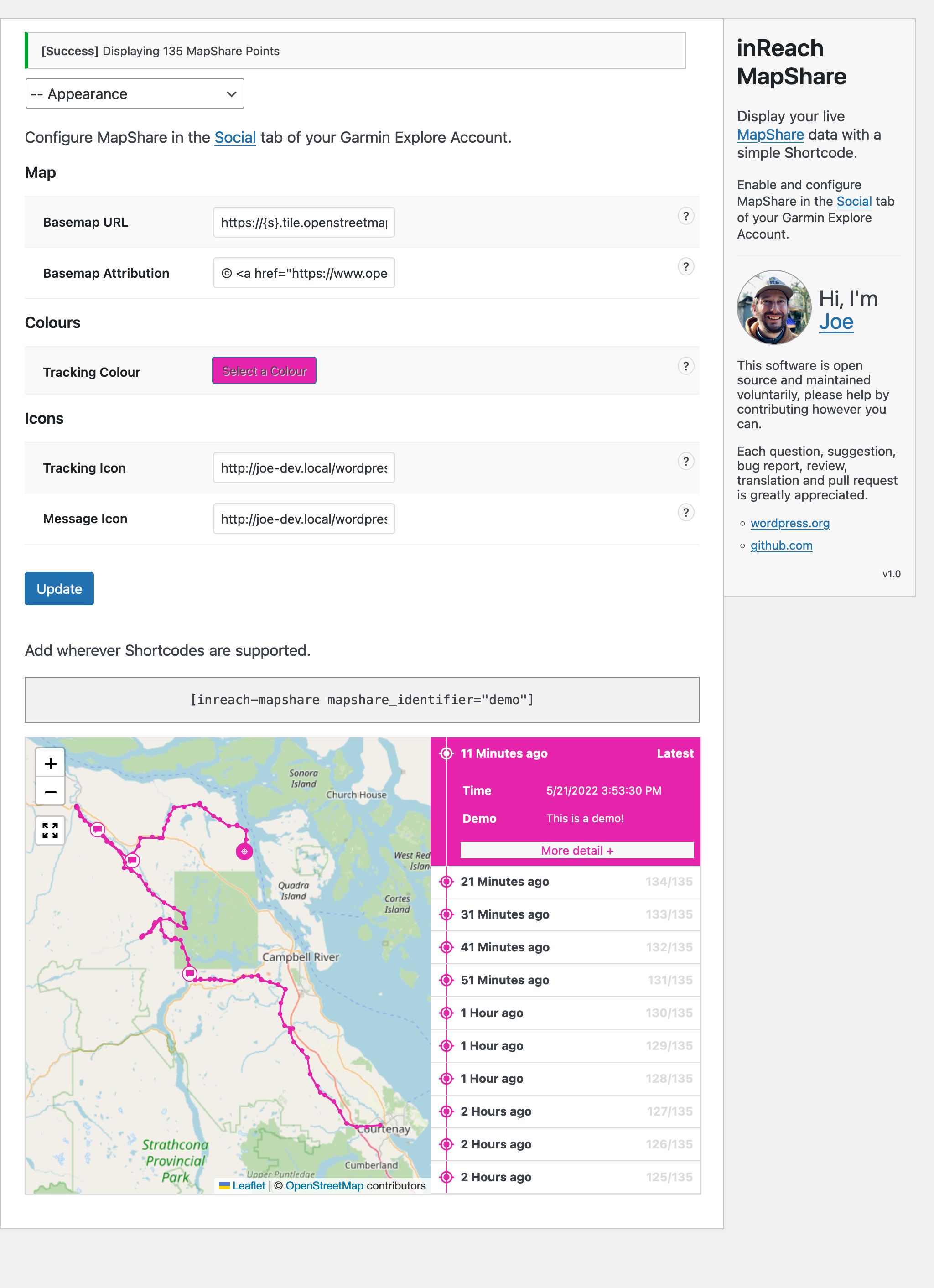
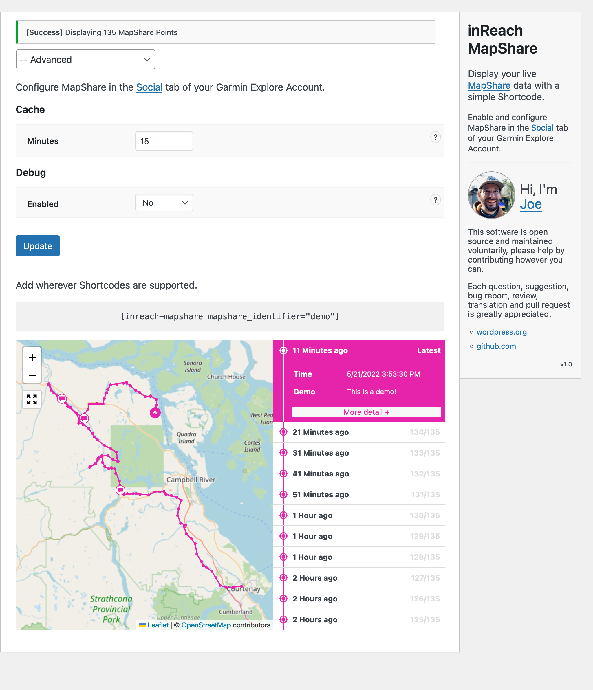
Display live Garmin inReach MapShare data on your WordPress site with a simple Shortcode:
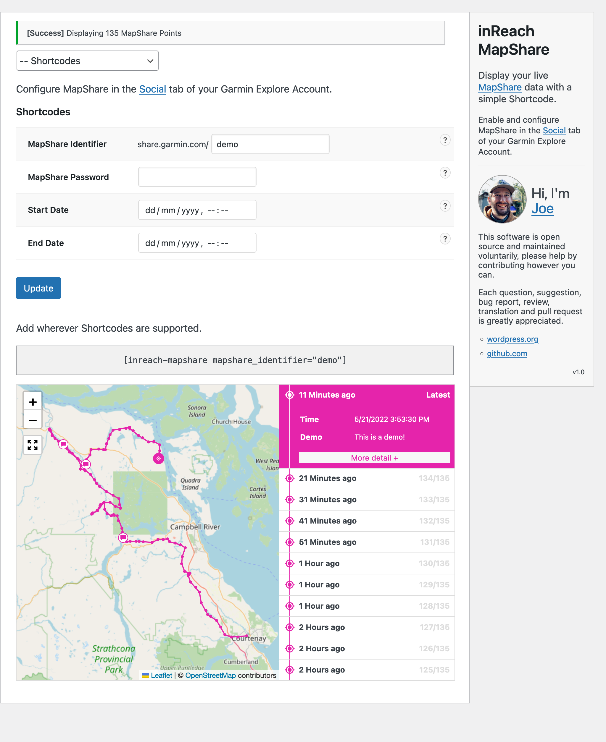
[inreach-mapshare mapshare_identifier="your_identifier"]
If you find value in this software please consider supporting it's continued development through sponsorship. Any amount is appreciated.
By default only your most recent location is displayed. To display more data, Start and end dates can be provided through the Shortcode like this:
[inreach-mapshare mapshare_identifier="your_identifier" mapshare_date_start="2022-06-15T00:00" mapshare_date_end="2022-07-31T23:59"]
You can display a GeoJSON Route accessible via a URL like this:
[inreach-mapshare mapshare_route_url="https://www.example.com/my-route.geojson" mapshare_identifier="your_identifier" mapshare_date_start="2022-06-15T00:00"]
The MapShare feature must be enabled in the Social tab of your Garmin Explore account.
Features:
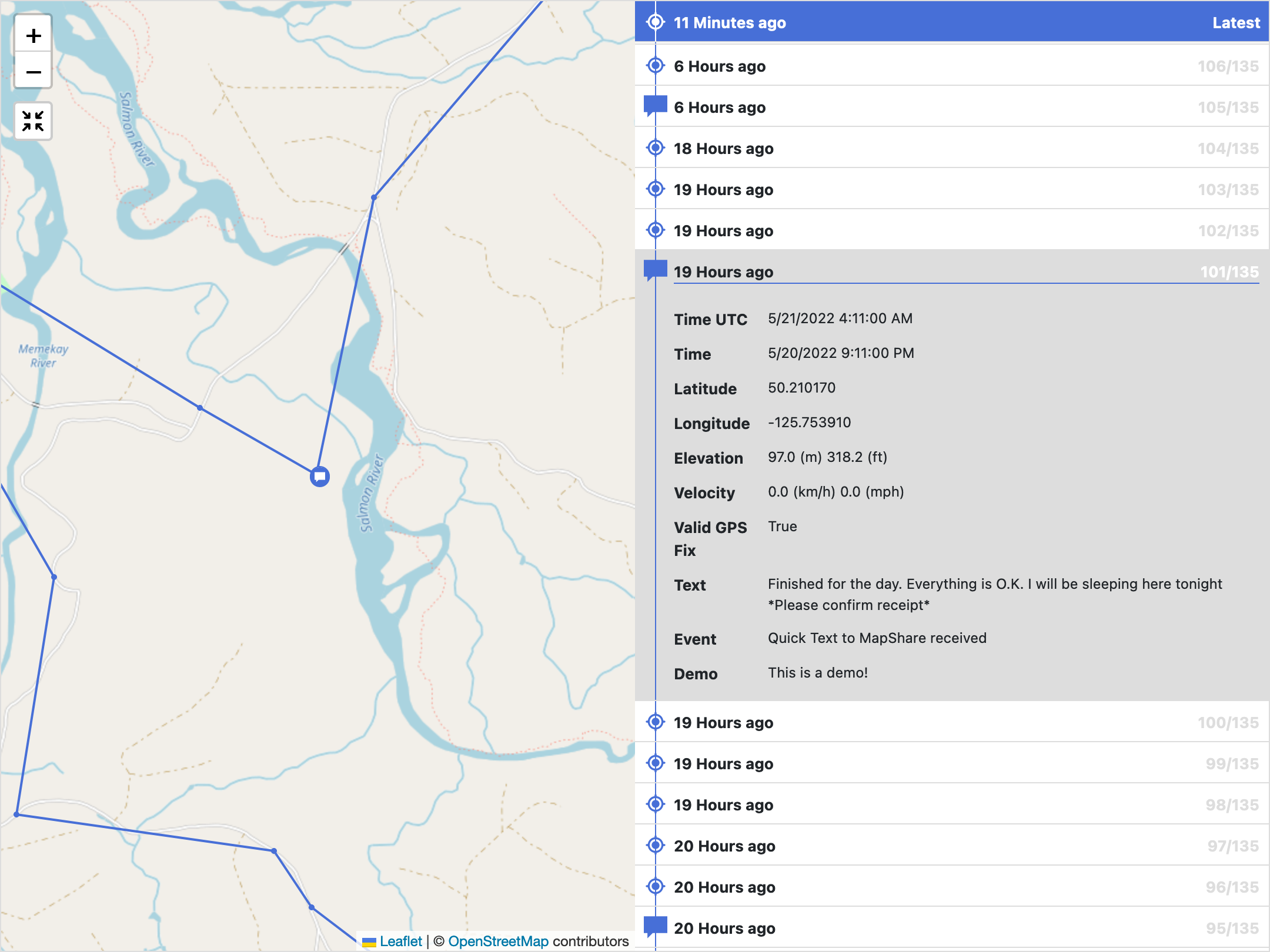
- Embed an interactive Map and timeline containing track points and messages shared with your MapShare page.
- Display your planned route using the Shortcode (URL accessible GeoJSON supported).
- Each point displayed contains the following information:
- Time UTC
- Time (local)
- Event (e.g. a message, or track point)
- Text (for messages)
- Latitude
- Longitude
- Elevation
- Velocity
- Valid GPS Fix
- The plugin updates your MapShare every 15 minutes and is cached to improve performance (adjustable in Settings).
- Use the in-built demo to preview how your MapShare will display (
[inreach-mapshare mapshare_identifier="demo"]). - Customise in WP Admin > Settings > inReach MapShare.
- Appearance settings:
- Basemap - OpenStreetMap by default, lots of other providers supported.
- Colour - pick a colour to suit your theme.
- Icons - use SVG images as icons.
- Content is responsive, and adapts to suit devices both small and large.
- Customise content with your own CSS rules.
- Translation ready :)
If you experience any issues with the plugin, ensure that your MapShare page (i.e. share.garmin.com/[your_identifier]) is displaying data. This is important - this plugin can only display data available to your MapShare.
Caution
Even if you have a MapShare password set, this plugin simply uses it to request your data; it does not protect it from being viewed. You are responsible for protecting access if needed.
Please report issues or make suggestions by creating a GitHub issue.
Note
This plugin is free, open-source software and is not maintained by Garmin. Data is requested from the Garmin inReach KML Feeds service.
- Download the plugin (.zip).
- In your WordPress Admin, go to Plugins > Add New Plugin.
- Click the "Upload Plugin" button.
- Upload the
inreach-mapshare.zipfile. - Activate the plugin.
- Configure the plugin in WP Admin > Settings > inReach MapShare.
- Ensure MapShare is enabled in the Social tab of your Garmin Explore account.
- Take note of your unique MapShare Address (i.e. share.garmin.com/[your_identifier]). If you have set a password to protect your MapShare page, you will also need to take note of this.
- Visit your MapShare address in your browser and verify that there is MapShare data (i.e. a message or track point) displaying. Any test message shared with your MapShare page will work.
- With this plugin is activated, go to WP Admin > Settings > inReach MapShare.
- Enter your MapShare address and submit.
- You should see your most recent location, or multiple locations if you supplied a date range.
- Add the provided Shortcode anywhere Shortcodes are supported to display the content on your site.
Note
To develop locally you will need to have both Node.js and NPM installed.
Vite is used to run the build script, which compiles the JavaScript and CSS and performs some other tasks.
# Install dependencies
npm install

# Run build script (will watch for changes)
npm run build
Pull requests are welcome!
These are small handheld "satellite communicators" which allow users (with an active subscription) the ability to send tracking and text/email messages from remote areas, unserved by other means of communication.
MapShare is an inReach feature which allows friends or loved ones the ability follow progress in real time online.
This plugin requests data from your MapShare page and embeds it anywhere Shortcodes are supported.
| Name | Description | Example |
|---|---|---|
| ID | Garmin internal ID for the event | 868926 |
| Time UTC | US-formatted version of the event timestamp as UTC | 5/2/2020 6:01:30 AM |
| Time | US-formatted version of the event timestamp in the preferred time zone of the account owner | 5/2/2020 9:01:30 AM |
| Name | First and last name of the user assigned to the device that sent the message | Joe User |
| Map Display Name | Map Display Name for this user. This field is editable by the user in their Account or Settings page. | Joe the inReach User |
| Device Type | The hardware type of the device in use | inReach 2.5 |
| IMEI | The IMEI of the device sending the message | 300000000000000 |
| Incident ID | The ID of the emergency event if there is one. | 1234 |
| Latitude | Latitude in degrees WGS84 where negative is south of the equator | 43.790485 |
| Longitude | Longitude in degrees WGS84 where negative is west of the Prime Meridian | -70.192015 |
| Elevation | Value is always meters from Mean Sea Level | 120.39 m from MSL |
| Velocity | Ground speed of the device. Value is always in kilometers per hour. | 1.0 km/h |
| Course | Approximate direction of travel of the device, always in true degrees. | 292.50° True |
| Valid GPS Fix | True if the device has a GPS fix. This not a measure of the quality of GPS fix. | True |
| In Emergency | True if the device is in SOS state. | False |
| Text | Message text, if any, in Unicode | I am doing good! |
| Event | The event log type. See table below under Event Log Types | Tracking Message Received |
